To the south, Downtown San Diego.
Everything from height looks better, likewise, a lot of things in the dark do, too. Freeway 52 below.
This puzzled us. At first, we thought it was a great lake with the sky lit up at sunset. Then we realized there isn't a lake in that vicinity. Of course, it's the ocean. No it's not. On second or third thoughts, we thought it may be sky. But how can you look down upon the sky. Arrogant or what? Then we saw clouds even further down (bottom of photo). Hang on, we're not that high. Puzzling. How about the horizon? Talk about being confused.
Old-fashioned fire in the sky at sunset.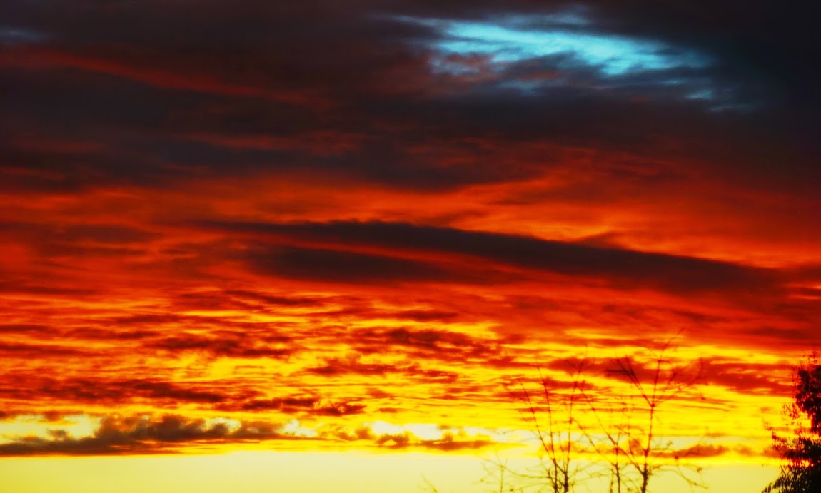
Mount Woodson: Reached the summit on more occasions than any other mountain.
On Mount Woodson: In the background is Fortuna North and others at the Mission Trails Regional Park.
Jen stands above the clouds—a great place to be.
From Mount Woodson, looking west toward the ocean.
Here comes Benny climbing above the nudist beach. We only reopen our eyes after 5 minutes of climbing.
There's more to Woodson than the 'Potato Chip'.
El Cajon Mountain, probably the toughest for us in San Diego.
Jen heading to peak of El Cajon Mountain, facing toward the Fortuna North position.
From Fortuna, Mount Woodson on the left and then Iron Mountain.
Some cloudy views from peak of Iron Mountain.
 Sunrise at the Iron.
Iron Mountain's shadow reflects off the clouds.
Cheers,
Everything from height looks better, likewise, a lot of things in the dark do, too. Freeway 52 below.
This puzzled us. At first, we thought it was a great lake with the sky lit up at sunset. Then we realized there isn't a lake in that vicinity. Of course, it's the ocean. No it's not. On second or third thoughts, we thought it may be sky. But how can you look down upon the sky. Arrogant or what? Then we saw clouds even further down (bottom of photo). Hang on, we're not that high. Puzzling. How about the horizon? Talk about being confused.
Old-fashioned fire in the sky at sunset.
Mount Woodson: Reached the summit on more occasions than any other mountain.
On Mount Woodson: In the background is Fortuna North and others at the Mission Trails Regional Park.
Jen stands above the clouds—a great place to be.
From Mount Woodson, looking west toward the ocean.
Here comes Benny climbing above the nudist beach. We only reopen our eyes after 5 minutes of climbing.
There's more to Woodson than the 'Potato Chip'.
El Cajon Mountain, probably the toughest for us in San Diego.
Jen heading to peak of El Cajon Mountain, facing toward the Fortuna North position.
From Fortuna, Mount Woodson on the left and then Iron Mountain.
Some cloudy views from peak of Iron Mountain.
Iron Mountain's shadow reflects off the clouds.
Cheers,
Jenni and Jeffrey
No comments:
Post a Comment