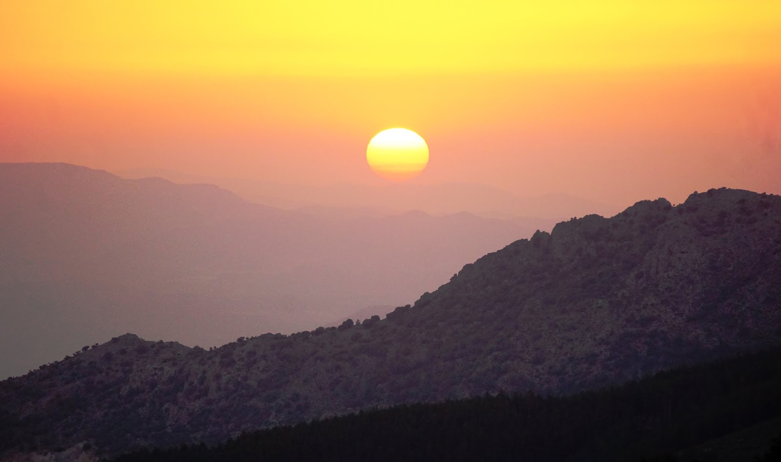
Every now and again we mention some of our best experiences. The ascent to (the peak of) Pico Veleta was
one of them. We are able to view the peak from the sitting room in our apartment. It's awesome. The mountains
climb steeply from the base. There is no respite; they go directly upwards—tough and taxing. Although not
easily viewable on pictures, there are three layers of mountains with valleys between them. The distance
is deceptive as we soon realized—there's nothing as sobering as finding this out while on foot. The lower
part of the village, where our apartment is situate, is at 6,890 foot above sea level, while the summit sits
at 11,148 feet. Because we selected our own route, we had to negotiate a further 300 feet as we dropped down
from the communication station and then further below the observatory. The cumulative gain was a meaningful
4,500 feet plus. We enjoyed every moment of it but for maybe 3 or 4 feet. It was one of those days where
whatever they could 'throw at us', we asked for more.
It's a long story how we found the delightful village of Pradollano in the Sierra Nevada.
It is the southernmost ski resort in Europe. Frankly, we have not stayed in a place so quaint
and yet filled with modern low-rise buildings in various colors and shades. The atmosphere, ignoring
the density of the air, is remarkable. During weekdays in summer, it appears to be deserted—wonderful.
This last weekend, a competition of some sort was arranged for cyclists. Cycling is a major sport
on the continent and certainly in Spain. Watching the dare-devils fly down the mountains and
the tough guys pedal up and over the passes is quite relaxing—we could watch for long periods of time
and hardly raise a sweat. In fact, the first meaningful conversation we've had since talking with
our previous landlady, Jeda, occurred with Thomas, a German. Go figure! We also met another cyclist,
Rich, a fireman from Boise with legs like narrow tree-trunks.
(Continue reading at end)

A view from a little below the village of the peak of Veleta, an elevation gain of 4,500 feet
and many miles away. We had no idea what we faced.

Throughout the region, the distinctive peak of Veleta, the registered logo
of Sierra Nevada, is on display.

Jenni reaches a milestone deserving, if I may say, of a salute as she stands on Pico Veleta.

We'd like to say there 'flies' a Springbok but will have to settle for a goat.
For: "Stan the Shabbos Man"—one for the 'bokke'. Peak of (Pico) Veleta, at 11,148 feet.

One can view the Mediterranean from the peak as well as North Africa, on a clear day.

Reaching part-way up the village with no respite in sight...never will be.

Telephoto lens from summit brings the village close.

A little adrenaline rush to provide a boost as we are about to move up an awfully
steep talus face.

Off-trail but not off path as Jen pushes with everything she's got.

An incredible position, the peak of Veleta. Mediterranean behind, North Africa further back.

It took us over 2 hours to reach the observatory below where we had brunch and thereafter,
another 2 plus hours to the peak.

Looking over the edge across to the highest mountain in the range.
A little color to relieve the harshness of the rock, one of the daily marvels.

On the way up, we have to drop down below the observatory ahead, adding extra elevation overall.

Over the other edge, enjoying snow after extreme heat.

Jen rests at peak; memorial picture of youngster who died, at right.

'Scape goat' blurred at speed as he goes for a big jump from peak. Oh for four good legs, heck,
I'll take three.

A later shot than previous above. Good night...sleep tight...
(Continued from above...)
We sometimes do odd things for reasons that baffle even us. Nevertheless, it doesn't appear this
will change any time soon. We decided to limit our time on the graded but stony road, preferring
to negotiate rougher terrain. Instead we took cycle tracks, goat paths and at times, being fully target
focused, crossed scree and talus at ridiculously acute inclines. The occasions were tough but in
their own way, meaningful. Fellow hikers will understand some of the feelings better than we can explain.
Suffice to say, we spent near on eight hours on the trail and peak including stops for pictures, brunch
and appreciation. We nearly forgot to add: rest. It was a day that will sit somewhere inside where
cherished memories are stored, for a long time.
As we climbed, we took photographs of a few points that could be used as objective measures. We began
at the bottom of the village, reaching above it after some 1,200 feet. It's hard to describe the climb
other than to express the feeling that it felt vertical at times. Our next key points were the
communication station and observatory. We used the village buildings and the latter structures to gauge
our ascent progress and thereafter to look back and see how far we had climbed. Ideally, we would like
to show the objects from our perspective at the different positions as we moved higher. It may not
be practical, being a little too specialized but we tried using the village buildings as an example.
A helicopter put on a show for us, a couple of goats contributed much to the enjoyment but the views
were spectacular. Good weather was another boon. The temperature variation from Granada at the extreme
was close to forty degrees. Although we sweated profusely at times, the breeze cooled the mountain air.
A memorial picture to a young man who lost his life at the dangerous peak was sobering. When we noticed
his date of birth (1994-2014), it seemed as if he barely lived. When a person is born forty-two years
earlier than the deceased, it seems surreal—we had to calculate that someone born in 1994 could already
be an adult.
Jenni who had not been feeling at her best after suffering from an ailment, proved that hidden under that
quiet persona is a resilient young woman. Okay, something in there may be a little inaccurate. After twelve
miles plus, an elevation gain of 800 feet-less-than-a-mile on a rough track reaching over 11,000 feet is
commendable, even if I have to be the one showering the praise. Is that good enough, Editor or do I need
to add more? Don't stop me, I'm on a roll.
Hike-about provides us with opportunities and experiences that are often profound, testing and growth
challenges. Obviously, we fail on many occasions but when we succeed, it sure picks one up and allows
us to reach for the sky, stretching outside our comfort zones. One of life's anomalies is that a person
can only bask in the satisfaction for a day or so—one has to move ahead and face the next challenge.
Cheers,
Jenni and Jeffrey
1 comment:
Thanks for sharing, nice post! Post really provice useful information!
Giaonhan247 chuyên dịch vụ vận chuyển hàng đi mỹ cũng như dịch vụ ship hàng mỹ từ dịch vụ nhận mua hộ hàng mỹ từ trang ebay vn cùng với dịch vụ mua hàng amazon về VN uy tín, giá rẻ.
Post a Comment